[Group picture of 270th AhToSan Hike、アトサン270次定期山行斗圍峰、두위봉산행]
It was raining at Daejeon in the morning. But it stoped while we were going up toward north by bus and when we arrived at the destination, it had completely stopped.
Since there was the World Cup soccer game between Korea and Greece that night, they all wanted to come back earlier, therefore the bus was to leave at 5 am at Expo South Gate parking lot.
However, I failed to set the alarm clock previous night, and I overslept for the first time in my hiking record! I woke up at 4:50 am!
I did not give up anyway. I picked up the essencial gears, such as hiking boots, sticks, cameras, a tripod, etc., and ran to a tax within 10 minutes!
When my taxi came to Daedeok Bridge, my cellphone rang. It was “Chongjeon” in charge of general affairs. I asked her to wait for 2 more minutes. They were waiting for me in the bus. It was 5:10 am when I got on the bus.
I usually cook rice in the morning. I bought lunch boxes at an service area. I ate one for breakfast, and put another one in my bag for lunch.
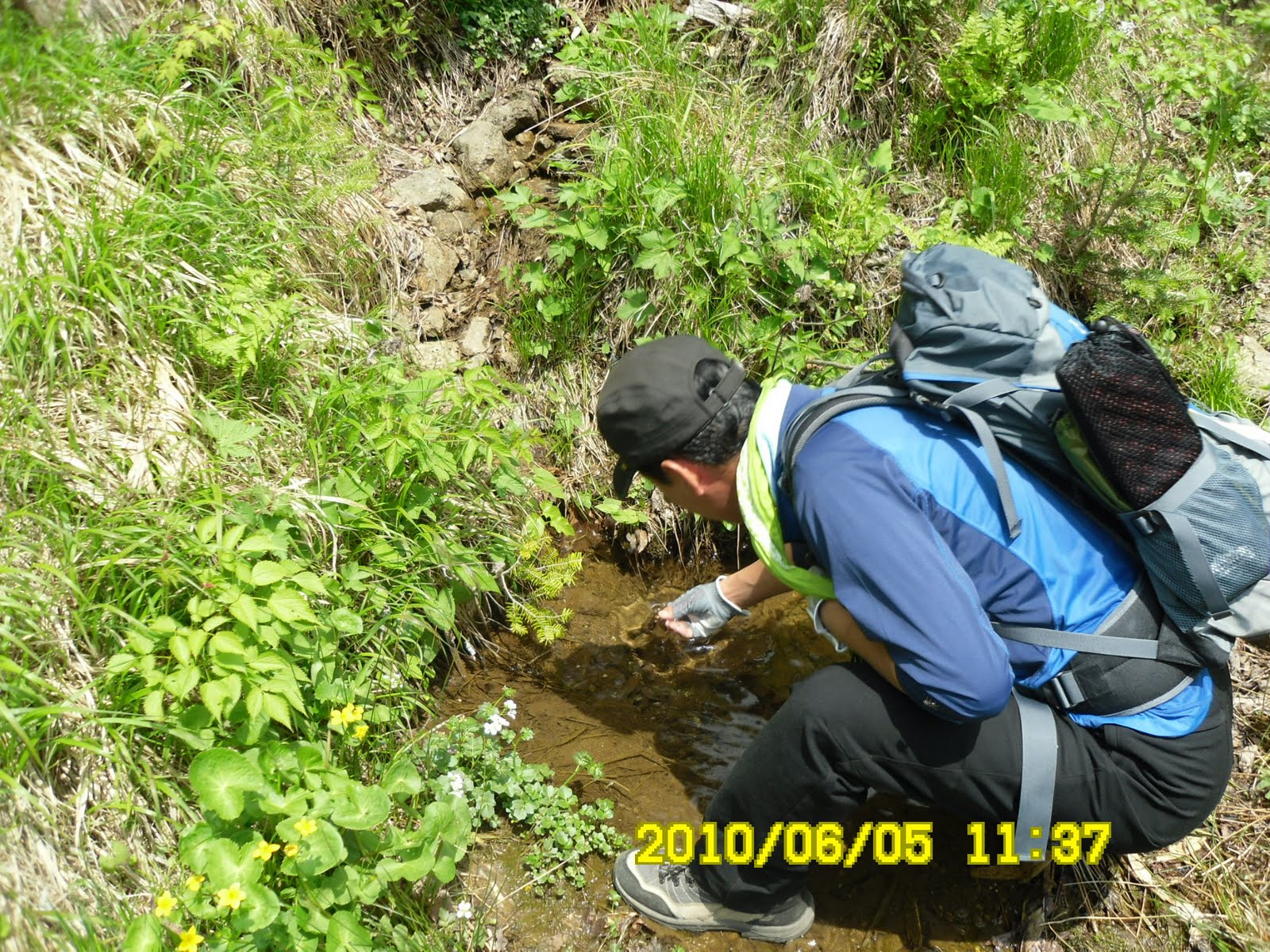
When I took a taxi in my neighborhood, it was raining. But it soon let up and when we arrived at Mungogni at 8:45, it was not raining at all.
We walked along forest road for about 20 minutes, then we came to a milepost saying 2.75 km up to the top of the mountain.
Along the trail, I saw several “oyama magnolia,” the national flower of North Korea. I also found the white leaves of actinidia polygama or “silver vine.”
Actinidia polygama is known as “matatabi” in Japan. According to Wikipedia, the leaves of this vine are very attractive to cats and useful as a sedative for cats’ families including lions and tigers.
We saw very unusual fenomina on the trail. It was the flower of arrow bamboos (or bamboo grasses/dwaf banboos.) According to Wikipedia, this plant blooms only once for 40 years. Come to think of it, I saw flowers of arrow bamboos when I was low teens in Japan. So, it was 50 years ago!
 [Flowers of arrow bamboo which bloom once for 40 years、40年に1度咲くという笹の花、40년에 한번만 핀다고 하는 조릿대의 꽃]
Some of AhToSan members said that flowers of bamboos were very rare, and bad omen. According to Wikipedia, rats eat these flowers, and they increase in number. They also eat agriculter products, therefore it causes famine because of lack of food.
In Korea peninsula, the tension between North and South Koreas is increasing now because of sinking South Korean patrol vessel. I hope this is no sign of any bad omen.
Along the trail up to the ridge, I noticed many flowers of yellow and purple besides bamboo flowers.
I also found flowers of polygonatum odoratum, commonly known as Angular Solomon's-seal or Scented Solomon's-seal.
It seems that Korean peole like this plant as herbal medicine. They sell the roots of this plant for herbal tea at many places including super markets.
Other unique flowers were black. I found mostly buds, but some were blooming, but not so attractive to me.
 [A black flower, 「鬼神の頭」のような黒い花、귀신 머리와 같은 검은 꽃]
I like flowers of “katakuri” or dogtooth violet, I could not see this flower unlike on Mt. Jiri.
We came up to the ridge where we could see good views of moutanis in one hour and 45 minutes.
 [On the ridge of the mountain, 稜線にて、능선에서]
 The hight of this mountain is 1465 m, so we had fantastic views of blue mountains.
 [A view from the ridge, 青い山々、푸른 산들]
 “San Cholcchuk” were in full bloom around the top of this mountain. This flower is called “Chosen Yamatsutsuji” in Japanese. Its scientific name is “Rhododendron yedoense” from Greek “red tree.”
 [Fowers fo "Rhododendron yedoense"、チョウセンヤマツツジの花、산철쭉 꽃]
 [Fowers fo "Rhododendron yedoense"、チョウセンヤマツツジの花、산철쭉 꽃]
We had lunch at around 11 am near the top of the mountain. The “San Cholcchuk” flowers were just beautiful around here.
 [Lunch time, 昼食風景、점심 식사]
 [At the top of the mountain、頂上の記念撮影、정상 기념 촬영]
 The highlight of the downward hike was the community of “Taxus cuspidate” (Japanese Yew or Spreading Yew).
 [A big Japanese Yew, 朱木(和名:イチイ)の大木、주목]
Taxus cuspidate is called “Jumok” kin Korean. “Ju” means red and “mok” means tree. So “Jumok” means “red trees”
 [A big Japanese Yew, イチイの大木、주목]
It is called “Ichii” in Japanese. “Ichii” means “一位” in Japanese. The quality of this tree is quite high and it is used to make “Shaku(笏)” or a ritual baton for the highest class officials, that’s why it is called “Ichii” in Japanese.
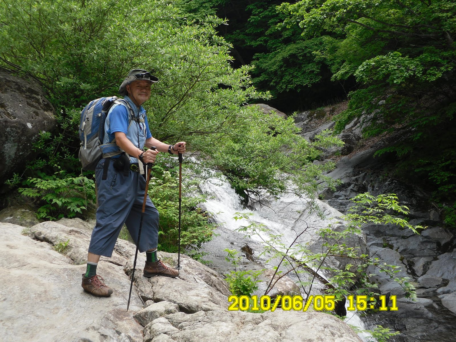
I arrived at the small park of “Dosakok” at 14:40. So, it was about 6 hour hike.
There was a sculpture of miners in the park. Jeongseon used to be a town for miners. It used to produce natural resources such as coals, gold, silver and iron. Now they made a casino called “Gangwon Land.” According to Wikipedia, It is the only casion which Koreans are allowed to enter.
 [Tower of "Miners' Family"、石炭家族の塔、석탄가족의 탑]
 Jeongseon is also known as a special cuisine called “Gondrebap” or “rice with seasoned Gondre”
“Gondre” is a kind of wild vegitable. It contains a lot of minerals and vitamins.
So, “Gondrebap” is a kind of “Bibimbap” using “Gondre” as the most important ingredient.
 [Gondre-Bibimpap、コンドレ・ビビンパのティップリ、되풀이는 곤드레밥]
We enjoyed “Gondrebap” and the local market of Jeongseon very much.
We came back to Daejeon by 7:30 p.m. so that everyone could enjoy the soccer game between Korea and Greece.
6月12日(土)アトサン第270次定期山行の目的地は江原道・旌善(チョンソン정선)・斗圍峰(トウィボン두위봉)(1465m)で私にとって204回目のアトサン定期山行で、今年30回目のハイキングだ。
 [At the top of the mountain, 斗圍峰(トゥイボン)山頂にて、도위봉 정상에서]
 テジョンは朝から雨だったが、北上するにつれて雨は止み、現地は曇りだった。
今回は、夜8時半からW杯の韓国・ギリシャ戦があるため、出発が5時と早かった。
私はアトサン定期山行204回目にして初めて寝坊した。前夜の目覚まし時計の設定に失敗し、目が覚めたのは部屋が薄明るくなった4時50分だった。
あわてて即座に弁当は放棄。中カバンにレインコートと冷凍庫のお茶、昨日買ったぶどうとトマトを入れ、ステッキ2本を持ち、カメラ2個と三脚、財布と手ぬぐい1本を持ち、軽い登山靴を履いて外に飛び出した。
タクシーに乗った時点でたぶん5時。タクシーの中でアトサン総務のチョンジョンからの電話を受け、あと2分待ってくれと頼んで南門の反対側に止まっているバスに着いたのは5時10分だった。
チョンジョンによると出発してから私のいないのに気が付いてバスを止めたと言う。あと5分遅かったら万事休すだった。
最初の休憩所でキムパプ弁当2個買って、とりあえず1個を朝食として食べた。こんな弁当で3000ウォンは高い!
雨は途中で止み、出発点の文谷里(ムンゴンニ문곡리)には8時45分に到着。
出発してからしばらくは(約20分)林道で、斗圍峰(トゥイボン)まで2.75kmという道標から山道に入った。この時点でいつものとおり私は最後尾。
山道に入って15分ほどで最初の休憩。全員そろっているところで、パングルトマトとブドウを出した。トマトが多少つぶれたが、それでもみな一気に食べてくれた。
山道に入ってから登山路の両脇の笹に花が咲いているのに気がついた。ウィキペディアによると竹類は、竹と笹とバンブーに分かれ、竹は120年周期、笹は40年から60年周期で花が咲くとされている。そういえば、私が笹の花を見たのは10代の子どもの時だったような気がする。
 [Flowers of arrow bamboo which bloom once for 40 years、40年に1度咲くという笹の花、40년에 한번만 핀다고 하는 조릿대의 꽃]
韓国では竹/笹の花が咲くと飢饉・大乱など不吉な前兆だという。ウィキペディアによると、竹の花は野鼠の格好の餌となり、野鼠の大量発生を誘発し、農作物に壊滅的な被害を生じることから「不吉な予兆」とする民間伝承が生まれたと言う。
北朝鮮との軋轢が高まっているこの時期、そのようなことのないことを祈る。
尾根に出るまでの林の中では笹の花のほか、黄色や紫の花が多く目に付いた。


また、鈴蘭を細長くしたような、「トングルレ(和名アマドコロ)」の花も見つけた。
また、変わったところでは真っ黒い花を見つけた。大部分は蕾のようで、開いたものも見つけたが、あまり美しいとは言えない。この山では智異山のような「オルレジ(和名カタクリ)」の花は見られなかった。
 [A black flower, 「鬼神の頭」のような黒い花、귀신 머리와 같은 검은 꽃]
歩き始めて約1時間45分で展望のきく尾根に出た。
この山は山頂が1465mなので、他の山々が良く見える。湿気の多い天気のせいか山並みが皆青くて白い雲がかかり、とても幻想的だ。

また、山頂付近には先週同様サンチョルチュク(산철쭉和名:チョウセンヤマツツジ)の花が満開で、その美しさを満喫した。
 [Fowers fo "Rhododendron yedoense"、チョウセンヤマツツジの花、산철쭉 꽃]
時間は11時を少し過ぎたばかりでやや早かったが、山頂のサンチョルチュク群落の碑のすぐ裏のサンチョルチュクの花の下で昼食にした。
11時半ごろには昼食を終え、山頂記念撮影。しばらく尾根伝いにあるき、ヘリコプター発着場を2つ3つ過ぎ、もう1カ所、岩の露出している展望台から本格的な下りに入った。
 [At the top of the mountain、頂上の記念撮影、정상 기념 촬영]
 下りのハイライトは何と言っても朱木(和名:イチイ)だ。群落といっても3本しか確認できなかったが、みごとな大木がそびえていた。
 [In front of a big Japanese Yew (1400 years old)、イチイの大木(1400年)の前で、주목(1400년)앞에서]
 朱木群落地を過ぎると最終ゴールであるドサコク(道士谷?)まで2.7kmの道標があり、市庁に勤める「スボン」氏の写真を撮った。
今回はスボン氏とずいぶん話をした。彼は初期アトサンのメンバーだったが、2006年から1年間、社会奉仕クラブの会長職を任され、土日は忙しくてアトサンに来れなかったという。
最後のアプローチはきれいに整備された渓谷沿いの舗装道路で、バスの待つ駐車場には「希望の石炭家族」という碑があった。
 [Tower of "Miners' Family"、石炭家族の塔、석탄가족의 탑]
 この辺に炭鉱があったのだろうか。今回はここでティップリはせず、旌善(チョンソン정선)の町に繰り出し、従来式のレストランでコンドレビビンパプを食べた。
旌善の町ではちょうどチャンナルのようで、食堂の前は催しもの会場になっていて歌や踊りを楽しみ、狭い通りにはさまざまな出店で賑わっていた。
 [Market Place at Jeongseon, 旌善(チョンソン)の市、정선의 시장]
従来式レストランではわれわれ20数人でいっぱいになったが、てぎわよくマッコリとつまみとコンドレパプが次々と出され、山菜たっぷりのコンドレパプを楽しんだ。
 ["Gondore" Bibingpap,コンドレ・ビビンパ、곤드레밥]
メニューでは6000ウォンになっていたが、個人負担は5000ウォンなので会費から補助が出たのだろうか。