Date: Sep. 18 (Wed) fine
Hiking Course: Donghaksa Bus Stop – Cheongol – Mungol – Keunbaejae – Nammaetap – Sambulbong – Geumjandi Pass – Shinheungam Temple – Gapsa Temple – Gapsa Bus Stop (About 8 km, 5 hours)
Transportation:
Shinseongdong – Yuseong – Donghaksa (about 1 hour by local bus)
Gapsa – Chungnamdae – Shinseongdong (about 1 hour by local bus)
Partner: None
In Korea, there are two important big national holidays; Seollal (Luner New Year) National Holidays and Chuseok (Korean Thanksgiving) National Holidays.
This year, Chuseok happened to be from Wednesday through Friday, so for most of Korean people, it’ll be 5 consecutive holidays.
One of my Japanese hiking friends, Mr. S will come to Korea in October. He will visit Daejeon and I am planning to take him to Gyeryongsan.
So, I went alone hiking to take advantage of this Chuseok holidays.
I took a local bus from Shinseongdong to Yuseong, then changed buses to Donghaksa Temple.

[The bus stop at Shinseongdong, 新城洞バス停、신성 동 버스 정류장]

[At Yusong Spa Bus Stop, 儒城温泉バス停にて、유성 온천 버스 정류장에서]

[At Donghaksa Bus Stop, 東鶴寺バス停にて、동학사 버스 정류장에서]

[Near Donghaksa Bus Stop, 東鶴寺バス停近くにて、동학사 버스 정류장 근처에서]


[A map of Gyeryongsan National Park, 鶏龍山国立公園の地図、계룡산 국립 공원 지도]
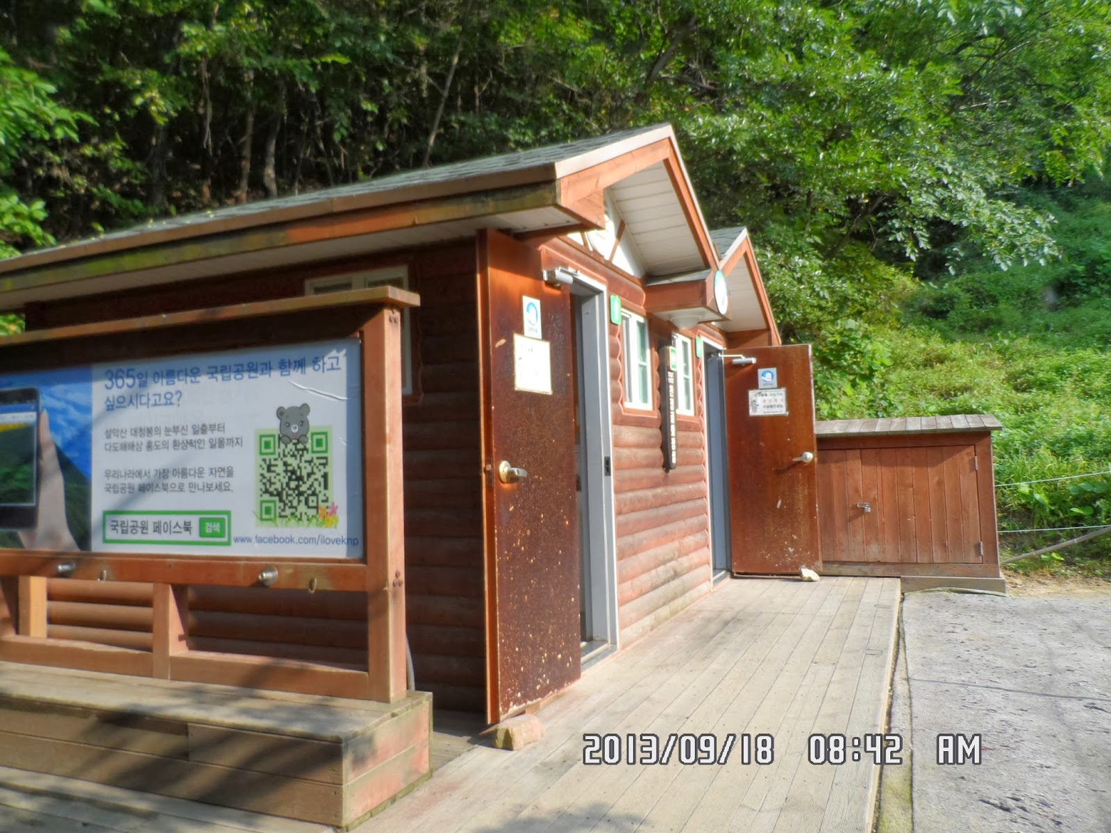
[Public toilet near the entrance, 登山口付近のトイレ、등산로 입구 부근의 화장실]

[Touch-me-not, ツリフネソウ、물봉선화]

[A wild flower along the trail, 登山路の野生花、등산로의 야생화]

[A spring water, 泉の水、샘물]
So, they say the rate of divorce is higher after such holidays, than other normal days.
It was an interesting program, and when it was over at 10 am, I was close to Keunbaejae Pass.

[At Keunpaejae, クンペジェにて、큰배재에서]

[A wild flower along the trail, 登山路の野生花、등산로의 야생화]

["Ainsliaea acerifolia var.subapoda"(No English name), オクモミジハグマ(奥紅葉白熊)、단풍취]

[Nammaetap, 男妹塔、남매탑]

[At Nammaetap, 男妹塔にて、남매탑에서]
I was surprised to hear my name. He said he once joined AhToSan hiking and remembered my name. This kind of thing happened to me several times. Those people whom I do not know, but they know me and my name!
Nanmaetap is a nice spot for taking break and measure the course time.
There is a stone monument along the trail between Nanmaetap and Sambulbong Pass, and I read the curved letters for the first time.

[The stone monument for Nammaetap,男妹塔の由来が書かれた石碑、남매탑 유래가 적힌 비석]
The original tap was destroyed when robbers digged the basement of the tap in 1944.
A benevolent person named“Kim Seonryong” put his private money to rebuild this tap in 1961.
Now I understand when the original tap was built and destroyed and then rebuilt, the history of the tap.
After reading the monument, I continued the hike to Sambulbong.

[Step-ways near the summit, 三仏峰付近の鉄階段、삼불봉 부근의 철계단 ]

[A view from the step-way, 鉄階段からの展望、철계단에서의 전망]

It was a fine day and I could have nice views from the summit of Sambulbong.

[A view from Sambulbong, 三仏峰頂上からの展望、삼불봉 정상에서의 전망]

[A panorama picture at Sambulbong, 鶏龍山のパノラマ図、계룡산의 파노라마 그림]

[A view near the summit, 頂上付近にて、삼불봉 정상 부근에서]
Anyhow, I climbed Sambulbong, and walked down to the trail and walked toward Geumjangdi Pass.
The trail from Sambulbong to Geumjangdi was wide and gentle slope. I arrived there at 11:42.

[A hiking map at Geumjangdi, クムチャンディの登山ルート地図、금잔디의 등산 지도]

[On a descending trail, 下山路にて、하산길에서]

[Cairn, ケルン、돌무덤]

[On a descending trail, 下山路にて、하산길에서]
The buildings of Shinheung-am Temple are new, not pained “dancheong”, traditional multicolored paintwork on wooden buildings, yet,

[At Shinheung-am, 新興庵にて、신흥암에서]

There is a nice peak just behind “Sanshingak” building in the temple.

[On a descending trail, 下山路にて、하산길에서]

I continued walking from Shinheung-am to Gapsa, a beautiful temple just the opposite side of Donghaksa.

[I arrived at Gapsa, 甲寺に到着、갑사에 도착]

[At Gapsa Temple, 甲寺にて、갑사에서]


[At Gapsa Temple, 甲寺にて、갑사에서]

In Korea, each temple usually has The Gate of "Sawangcheon四天王" or "Four Heavenly Kings" which I never saw in temples in Japan. It would be compared to "Nio Gate仁王門" in Japanese temple.

[The gate of "Sawangcheo", 四天王門、사천왕문]
http://en.wikipedia.org/wiki/Four_Heavenly_Kings
In Buddhism, they are "Heavenly Kings" in charge of 4 directions (East, West, North and South). They are said to be the protectors of the world and fighters of evil, each able to command a legion of supernatural creatures to protect the Dharma.
They stand as a pair on both side of the gate.

[Two of Four Heavenly Kings, 四天王の2体、사천왕의 2 체]

[East, Jiguk-cheonwang, 東方持国天、동방 지국 천왕]

 >
>
[North, Damun-cheonwang, 北方多聞天 (毘沙門天)、북방 다문천왕]

I took pictures of each "King" and then walked toward the Main Gate of Gapsa Temple.

[At the main gate of Gapsa, 甲寺の山門にて、갑사의 산문에서]
Then there is a spacious parking lot where the bus stop is.
Bus service from Gapsa to Yuseong was not so frequent like from Donghaksa to Yuseong.
The bus service interval was once for every hour. But the bus soon came to the bus stop.
I took 1:40 bus to Yuseong (ChungNam University) and changed buses there to Shingseongdong, where my studio apartment is.
It was my 45th hike for this year, an easy-going hike of 5 hours walk.
---------------------------------------------------------------------------------------------------------------------
分類:登山、韓国、秋山,登山、鶏龍山
登山日:2013年9月18日(水) 晴れ
登山地:忠南、鶏龍山国立公園、三仏峰
登山コース:東鶴寺バス停~ソウル食堂~天井谷(천장골)探訪路支援センター(8:42)ー~ムンゴル문골(9:04)~クンペジェ큰배재(10:04)~男妹塔남매탑(10:37)~三仏峰峠삼불고개(11:06)~三仏峰삼불봉775m(11:20)~クムチャンディ峠금잔디고개(11:42)~新興庵신홍암(12:22)~甲寺갑사(12:55)~甲寺バス停(13:25)山行距離約8キロ、所要時間5時間。
交通機関:
往路:新城洞7:30~儒城7:45~東鶴寺バス停8:30
復路:13:40発忠南大行き320番バス→忠南大前にて704番バスに乗り換え、新城洞は14:40到着。
同行者:なし
一ヶ月後、富山の友人が来韓し、大田にも来るため、その時の下見に、鶏龍山の甲寺コースを一人でハイキングした。
この日は韓国の重要な名節(祝祭日)である秋夕(チュソク)連休の初日で良い天気だった。
握り飯を2個と前日作ったトーストサンドイッチの残り1個などを携え7時半にワンルームを出発。704バスで儒城乗り換え、東鶴寺バス停にはちょうど8時半に到着した。

[The Yuseong Spa Bus Stop, 儒城温泉バス停、유성 온천 버스 정류장]>

天気は最高だったので途中下車して将軍峰から登ろうかとも一瞬考えたが、最近、気合がはいらない。結局イージーなクンペジェ~三仏峰~甲寺コースを選択。甲寺へ下るコースは以前、個人で1回、テジョンハイカーズとも1回来ているのでこれで3回目だ。

[Near Donghaksa Bus Stop, 東鶴寺バス停近くにて、동학사 버스 정류장 근처에서]


[A map of Gyeryongsan National Park, 鶏龍山国立公園の地図、계룡산 국립 공원 지도]

[Cheonjang-gol Support Center, 天井谷探訪路支援センター、천장골 탐방로 지원 센터]
この日はリスナースタジオ訪問日で話題は「名節の夫婦の役割分担」だった。

[A big rock along the trail, 登山路脇の巨岩、등산로 옆의 큰 바위]
この付近の登山路で目につく花はムルボンソン(ツリフネソウ)ぐらいで、ムンゴル付近ではシマリスを見かけたがシャッターチャンスはなかった。

[Touch-me-not, ツリフネソウ、물봉선화]

[A spring water, 泉の水、샘물]

["Ainsliaea acerifolia var.subapoda"(No English name), オクモミジハグマ(奥紅葉白熊)、단풍취]
男妹塔横のテーブルでサンドイッチ1個を食べて三仏峰峠までの急こう配の石段を登ろうとしたら、中年の男性に「秋夕に日本へ帰らないのか」と声をかけられた。

[Nammaetap, 男妹塔、남매탑]
男妹塔から峠へ登る道の脇に男妹塔の由来が漢字とハングルで記された石碑があり、初めて読んでみた。
それによると男妹塔は新羅聖徳王23年(725年)に建立されたが、1944年に盗掘され、倒されてしまった。

[The stone monument for Nammaetap,男妹塔の由来が書かれた石碑、남매탑 유래가 적힌 비석]
男妹塔の建立は1300年前にさかのぼり、再建されてからは半世紀ほどのものだと納得した。
三仏峰峠から三仏峰に上がる階段は上りもくだりも急こう配で、それだけに一気に展望が開ける。

[Step-ways near the summit, 三仏峰付近の鉄階段、삼불봉 부근의 철계단 ]

[A view from the step-way, 鉄階段からの展望、철계단에서의 전망]

[At Sambulbong, 三仏峰頂上にて、삼불봉 정상에서]

[A panorama picture at Sambulbong, 鶏龍山のパノラマ図、계룡산의 파노라마 그림]

[Gyeryong Dam behind Gyeryongsan, 鶏龍ダムが見える、계룡댐이 보인다]

[Iron step-ways for descending, 下りの鉄階段、내려가는 청계단]

[Geumjangdi Heliport, クムチャンディ・ヘリポート、금잔디 헬리포트]

[On a descending trail, 下山路にて、하산길에서]

[Cairn, ケルン、돌무덤]

[On a descending trail, 下山路にて、하산길에서]
新興庵は建物がまだ新しく丹青がまだ塗っていない。この寺の「山神閣」の後ろにそびえる山はみごとだ。

[At Shinheung-am, 新興庵にて、신흥암에서]

新興庵から甲寺へ下る道には龍門滝を迂回するルートが新たにできていた。

[On a descending trail, 下山路にて、하산길에서]

[The new observatory, 新しい展望台、새로운 전망대]

[On a descending trail, 下山路にて、하산길에서]

[At Gapsa Temple, 甲寺にて、갑사에서]


[At Gapsa Temple, 甲寺にて、갑사에서]

[At Gapsa Temple, 甲寺にて、갑사에서]


[At Gapsa Temple, 甲寺にて、갑사에서]

[Two of Four Heavenly Kings, 四天王の2体、사천왕의 2 체]

[West, Gwangmok-cheonwang, 西方広目天、서방 광목천왕]

四天王はウィキペディアによると仏教の守護神で東西南北の方向を担当しているというが、仁王像に比べると私にはいつもユーモラスに感じられる。

[South,Jeungjang-cheonwang、南方増長天、 남방 증장천왕]

さて、四天王門を過ぎて甲寺の山門までの道は桜並木のようでトチノ木の大木も混じりなかなか落ち着いていてよい。

[The main gate of Gapsa, 甲寺の山門、갑사의 산문]
バス停に着いたのは13:25だった。
バスの時間表をみると1時間に1本程度。ちょうど13:40発の儒城行きがすぐに来て、乗った。

[The time table at Gapsa, 甲寺のバス時刻表、갑사 버스 시간표]
通りの反対側へ行き10分あまりまって704番バスで新城洞へ戻った。
バスによるアクセスは往路も復路も約1時間、山行時間は5時間で今年45回目の登山は気楽な登山であった。
0 件のコメント:
コメントを投稿